Scotland. If you are looking for information about hiking routes on the Isle of Skye, you will certainly quickly stumble across the infamous "Bad Step". It is part of one of the most beautiful hiking routes on Skye and part of the Skye Trail. But it also causes some hikers to turn back. What is the "Bad Step" and how bad is it? Learn more about the hike from Kilmarie to Sligachan in the heart of the Cuillins here.
Unassigned, unpaid advertising. The article contains affiliate links.
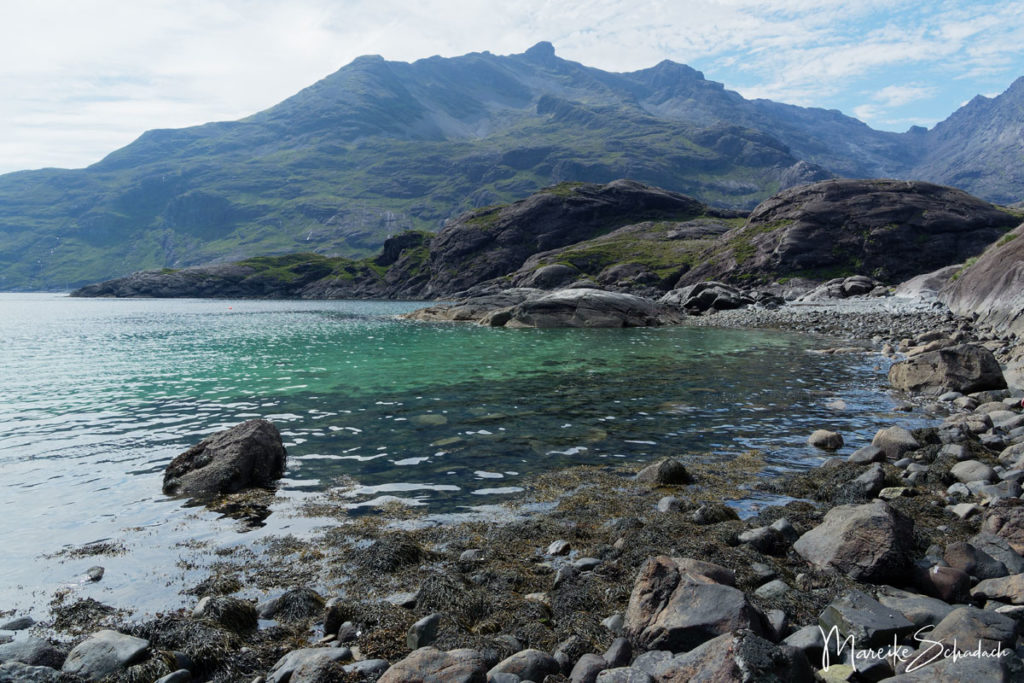
Facts about the Hike
Length: about 25 kilometers
Height difference: about 510 meters
Duration:7 - 9 hours
Starting point: Starting point is the parking lot in Kilmarie on the road B8083 from Broadford to Elgol. Alternatively you can start in the village of Elgol.
End point: The hike ends in Sligachan. Of course you can also walk the route in the other direction.
Places to stay in Sligachan: Hotel Sligachan, Hostel, camping site
Difficulties: River crossing; climbing at Bad Step; narrow, exposed cliff path requires surefootedness and sometimes a head for heights; somewhat arduous pass crossing.
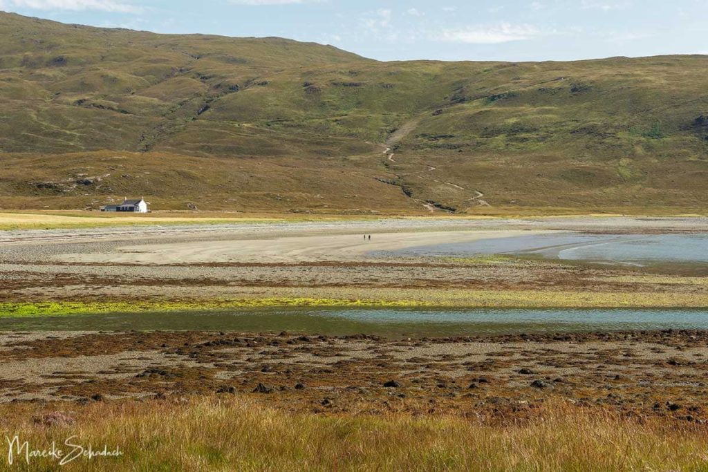
The Highlights of the Hike
- Scenic hike through the Cuillin Mountains of the Isle of Skye
- Beautiful bay of Camasunary with Bothy
- River Crossing
- Beautiful coastal path
- Kletterpartie am “Bad Step”, dem berüchtigten Felsen der Isle of Skye
- Loch Coruisk
- Several bathing places (sea and Loch Coruisk)

Warm up - From Kilmarie to the first Pass
The first section of the hike is perfect for warming up. It is wide and easy to walk and leads steadily uphill. You'll warm up quickly. We cross wild land owned by the John Muir Trust.
Such a wide path is rare on Skye. It was bulldozed by the army in the summer of 1968. This was to make access to Loch Coruisk easier for anglers. Fortunately, the path was never completely finished. Because also the coastal path with the Bad Step would have fallen victim to the bulldozers then. Thanks to all who at that time fought for the preservation of the wild coastal landscape!

From the highest point at Am Mam you have a fantastic view of the bay and two stone houses. Afterwards, the trail descends steeply in serpentines to the bay of Camasunary.
Alternatively:Instead of Kilmarie, you can also start in the tranquil village of Elgol. In Elgol, follow the signs to Camasunary or Sligachan. The path leads about two hours along the coast with a view of the black cuillins on the opposite side into the bay of Camasunary.
Camasunary Bay
There are two houses in Camasunary Bay. The first is the former bothy - now a private house. The second is the new bothy.The shelter is run by volunteers from the Mountain Bothy Association. Here you can spend the night or prepare a meal. Leave everything as you found it and also take your trash with you.
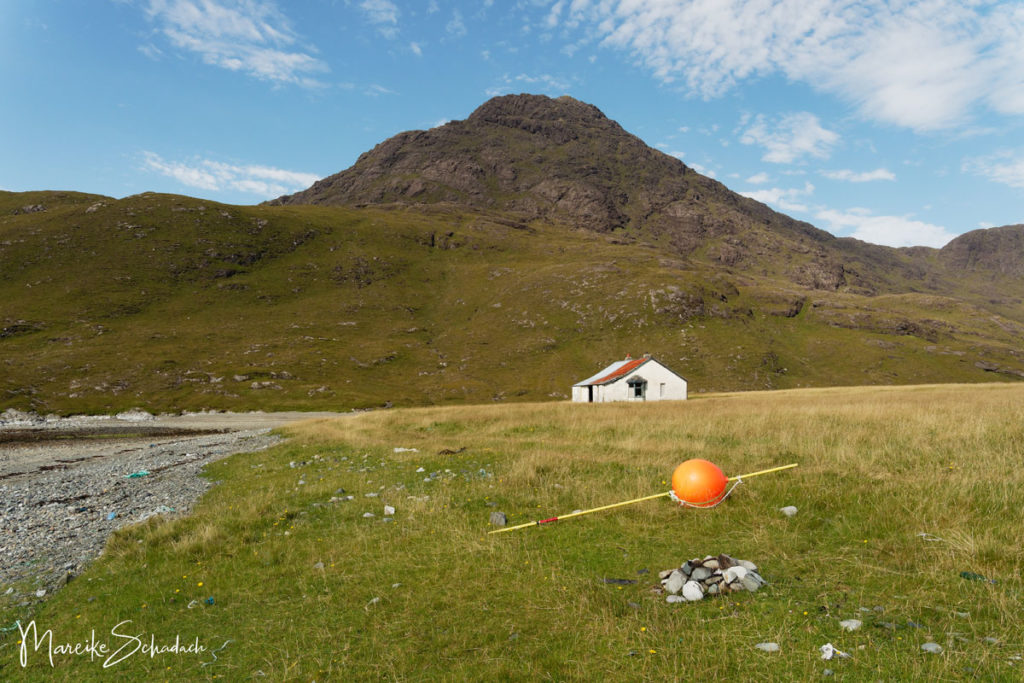
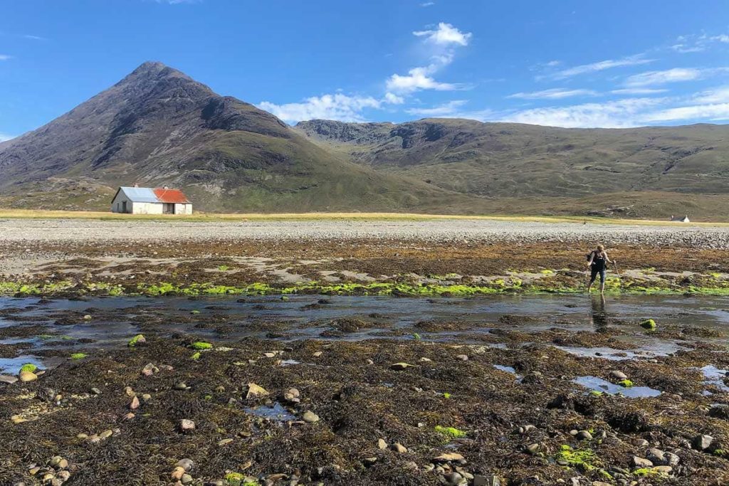
River Crossing
At the western end of the bay the Abhainn Camus Fhionnairigh flows into the sea. In former times there is said to have been a bridge here. But today you have to ford the stream. This is not very difficult. The river is relatively wide, but shallow and the current is small. Tip: It is easier at low tide!
In retrospect, I learned that there should be stepping stones for crossing about 100 meters above the river mouth. Whether this is actually so, I can not say, however.
Coastal Path
After the river crossing, the trail continues as a narrow, stony coastal path. Rocks and larger boulders must be repeatedly avoided or climbed over. But the view over the bay is fantastic. Below the rugged western flank of Sgurr na Stri, the climbs then become more frequent and difficult. The most difficult section is a steeply sloping rock slab that must be crossed. The stone is grippy, but the steep position above the sea quickly makes you feel a bit queasy.
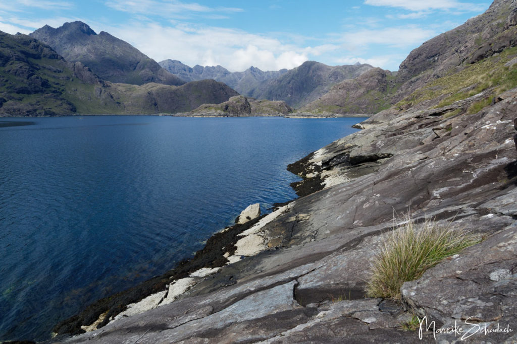
From the bay to the Loch it is only about 3.5 kilometers. However, you don't make fast progress. The path lets you walk only slowly and it is just too beautiful to go fast.

Der berüchtigte Felsen der Isle of Skye – How bad is the “Bad Step”?
You will recognize the Bad Step as soon as you stand in front of it. A large slab of rock, inclined at about 60°, blocks the coastal path.The rock is directly above the sea. So here, in addition to surefootedness and a head for heights, you also need good nerves.

Now it goes on only with some climbing. Across the rock slab is a crack about 30 cm wide. You have to climb along this crack. This is not as difficult as it sounds at first. There are always enough ledges that you can step on and hold on to. The entrance to the crack is the most difficult, because it lies on a ledge at about waist height. So that you don't get dizzy, it's best to keep your gaze turned towards the mountain.

Tip: Always keep three of four contact points (feet & hands) on the rock. Only when you have found a secure hold, go one step further. Especially if you are carrying heavy backpacks on your back.
Loch Coruisk
About 500 meters behind the Bad Step you reach Loch Coruisk. It is considered one of the most beautiful lochs in Scotland. A nice place for a swim or a picnic.There are also some nice places to pitch a tent and spend the night.

Over the Pass and through Glen Sligachan
The trail now continues along the eastern side of the loch. In serpentines it winds continuously upwards. On your left a small stream flows, on your right the high mountain Sgurr na Stri rises. It is a total of 295 meters in altitude to the pass,where a large cairn stands.

Tip: Don't forget your midge repellent. We were surprised by a nasty midge attack behind the pass. It's best to read my article Midges in Scotland - When? Where? What helps?

From the pass you can already see the path through Glen Sligachan far below. Keep to the left and after some time you will meet a larger path, which is also maintained.
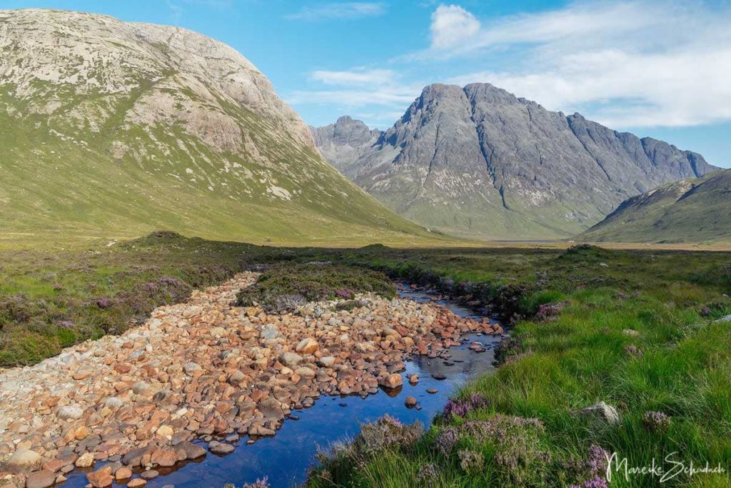
The difficult and strenuous part of the trail is now done. Now the trail goes steadily downhill until you reach the flat Glen Sligachan. The path crosses numerous small streams. From the pass to the Sligachan Hotel it is about 9.5 kilometers.
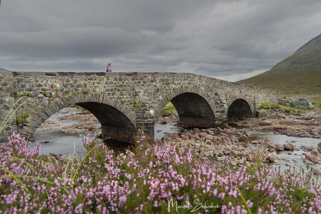
Just before the Sligachan Hotel you will cross the old stone bridge built by Thomas Telford. A nice end to the hike.
Book Recommendations for Isle of Skye
Do you want to know where the journey is going? Then I can recommend this travel guides* to you.
You can order the travel guides on Amazon by clicking on the pictures. If you buy a product via an affiliate link, I get a small commission, and you help me to keep filling Fernweh-Motive with interesting articles. The product will not be more expensive for you, and you will do me a huge favor.
Guided Tours on the Isle of Skye
You don't feel like wandering around on your own and would rather join a guided tour in Iceland? Nothing could be easier. If you book an excursion via the following affiliate links, you will support Wanderlust Motifs with a small commission. The tour will not be more expensive for you. Merci!
Did you also climb over the "Bad Step" of the Isle of Skye? Did everything go well? Which hike on Skye did you like best? Do you have any questions or suggestions about my article? If yes, then write me a comment!
Do you want to know when there are new articles on my blog? Then follow me on Facebook, Pinterest or Instagram. I would also be very happy if you share my article with your friends.
Recommendations for further Reading
Do you love the outdoors as much as I do? Then you might also be interested in my articles about a Panoramic Hike to the Hjörleifshöfði in the South of Iceland or about the Climbing the Half Dome in Yosemite National Park.

