Iceland. The inselberg Hjörleifshöfði rises strikingly above the wide plain of Mýrdalssandur. Whoever climbs Hjörleifshöfði in the south of Iceland has a grandiose view over the wide sandstone plains to the ice cap of Myrdalsjökull. Here you will learn everything about the worthwhile hike to the top of Hjörleifshöfði, passing graves, ruins, flowering meadows and a cave.
Unassigned, unpaid advertising. The article contains affiliate links.
Facts about the Hike
Length: about 3,5 kilometers
Height difference: about 190 meters
Duration: about 1.5 hours (including about 20 minutes for a detour to the cave)
Requirements: The path is marked with wooden stakes and is well trodden. It is technically easy to walk, but in places very steep.
Highlights: View, Viking grave and ruins, flower meadows, cave
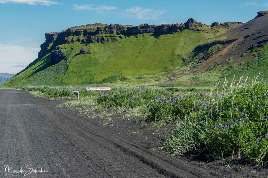
Where is Hjörleifshöfði and how do to get there?
The 221 meter high inselberg Hjörleifshöfði is located about 12 kilometers east of Vík í Mýrdal in the south of Iceland. From the ring road you turn right onto a signposted gravel road (Hjörleifshöfði), which you follow for another two kilometers to the parking lot and starting point of the hike.
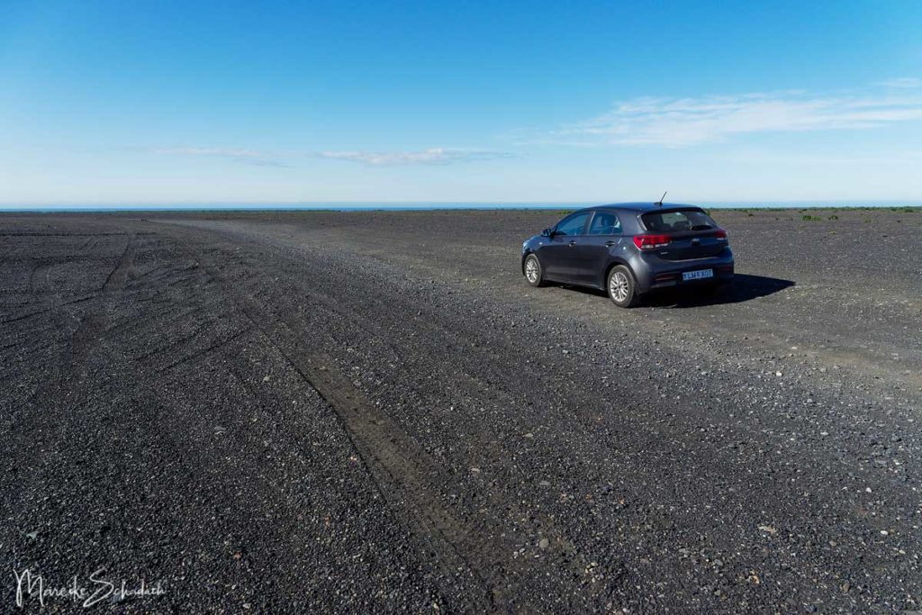
The access road alone is worth experiencing and gives a feeling of great adventures:you are not driving on a gravel road but rather on a wide gravel surface - the Sander. Here there are (unfortunately) several lanes side by side. The Sander is like an El Dorado for off-road drivers, who do their laps here.
Just to remind you that "real" off-road driving is forbidden in Iceland for the benefit of nature.
You can reach the parking lot, the starting point of the hike, with a normal car. Only if you want to drive two kilometers further towards the sea, you will need a four-wheel drive vehicle.
How did the Mountain Hjörleifshöfði originate?
The palagonite mountain Hjörleifshöfði was probably formed at the end of the last ice age by a subglacial volcanic eruption. At first the mountain was an island in the sea. At the time of the settlement a land connection was formed. Today Hjörleifshöfði is surrounded by the black sand of the Katla eruptions and the sea is two kilometers away.
Description of the Hike to the Top of Hjörleifshöfði
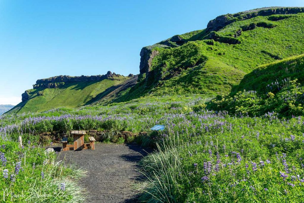
Lupines and spectacular Vews on the Ascent
From the parking lot, turn left at the foot of the mountain to a picnic area. Here you will find information boards about the origin and settlement of Iceland's inselberg Hjörleifshöfði. Afterwards it goes steeply uphill on a narrow pathbetween lupines for about 15 minutes. Looking back, the view of the surroundings gets better with every minute. However, the lupines attract many insects. I forgot my insect repellent, so I quickly made my way up to the bare plateau.

Summits with a fantastic View and historic Tombs
On the hilltop it is so windy that all insects are blown away. After another short ascent the summit is reached after about 30 minutes. From here you have a fantastic view over Mýrdalssandur and the surrounding glaciers.

Up here at the highest point of the mountain is a small hill called Hjörleifshaugur. It is said that the Viking Hjörleifur Hróðmarsson was buried here. Hjörleifur was the stepbrother of Ingólfur Arnarson. Together they set out for Iceland as the first settlers in 874. Their ships were separated by a storm while they were sailing. Ingólfur reached Ingólfshöfði south of Skaftafell and Hjörleifur settled here on the mountain. His slaves are said to have slain him and his men the following spring and then fled with the women to the Westman Islands. His friend Ingólfur then avenged him and slew the slaves.

The old Farm and its Inhabitants
There was a farm here on the mountain until 1721. But the Katla eruption destroyed it. After that, the mountain was not inhabited for about 30 years. Later the farm was rebuilt a little further up the mountain. But since 1936 this has also been abandoned. You will pass the ruins of the stone houses on your way back from the summit.
Markus Loftsson was among the residents of Hjörleifshöfði. After his death, his wife married Hallgrímur Bjarnason, who continued to expand the farm. Hallgrímur's family is buried at the top of the summit. Certainly one of the most beautiful places for a burial place in all of Iceland. There is also a monument to the Danish surveyors from the beginning of the twentieth century on the mountain top.

Descent through colorful Meadows to the Ruins of the Farm
Now it goes downhill again, where you can still enjoy the great view. After about half the descent you will pass the ruins of the former Hallgrímur farm. I particularly liked the last section of the trail: rugged rocks, black sand and colorful flowers.

Bird Cliffs and Cave
Once at the bottom, you can either go back to the right to the parking lot or to the left along the bird cliffs to the cave. However, the cave is rather unspectacular. Although it has a wide opening, it does not go far into the mountain.
Many fulmars breed on the steep cliffsin summer. Unfortunately, the young birds in the Mýrdalur area are still sometimes collected and eaten.

Book Recommendations for Iceland
Do you want to know where the journey is going? Then I can recommend this travel guides* to you.
You can order the travel guides on Amazon by clicking on the pictures. If you buy a product via an affiliate link, I get a small commission and you help me to keep filling Fernweh-Motive with interesting articles. This does not make the product more expensive for you.


Do you know the mountain Hjörleifshöfði in the south of Iceland? How did you like it? Do you have any questions or suggestions about my article? If so, write me a comment!
Do you want to know when there are new articles on my blog? Then follow me on Facebook, Pinterest or Instagram. I would also be very happy if you share my article with your friends.
Recommendations for further Reading
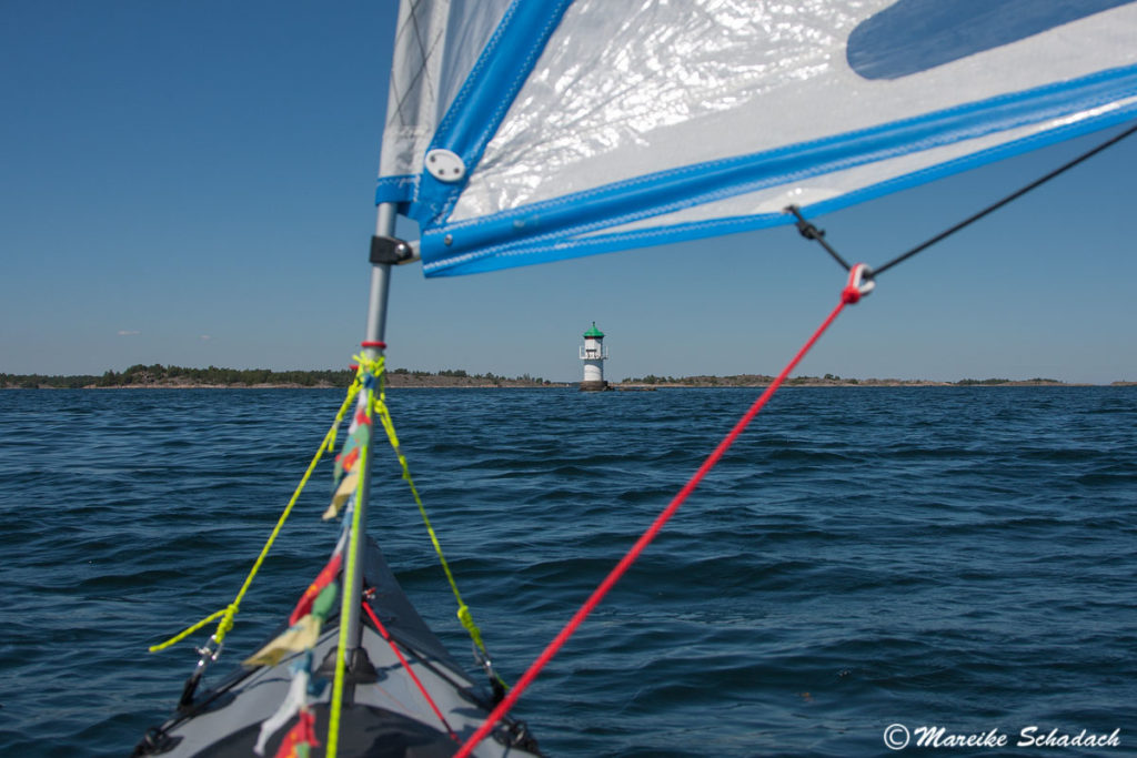
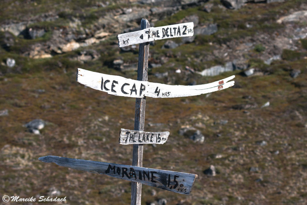
Do you love the Scandinavian countries as much as I do? Then you might also be interested in my articles about the Kayak Tour in the Swedish Archipelago or a Trekking Tour to the Greenlandic Ice Sheet.