Iceland. Vestmannaeyjar was once the scene of a devastating volcanic eruption. On the night of January 23, 1973, on the outskirts of the town of Vestmannaeyjabær, the earth cracked open and lava fountains shot into the black night sky. Eruptions followed for almost six months. Lava and ash destroyed 30% of the city. But new land was also created. Today you can walk on the cooled lava and even climb the volcano Eldfell in the south of Iceland. A museum worth seeing also informs about the devastating eruption.
Unassigned, unpaid advertising. The article contains affiliate links.
What to expect in this Article
Fire Mountain and Fire World - On the Traces of the 1973 volcanic Eruption
Climbing Eldfell Volcano in Iceland
Visit of the Museum Eldheimar "World of Fire"
Walk through the "Lava Forest" Hraunskógur
What happened? The Eruption of Eldfell in 1973 on Heimaey

Fire Mountain and Fire World - On the Traces of the 1973 volcanic Eruption
Climbing Eldfell Volcano in Iceland
The approximately 200 meter high lava cone that was formed during the 1973 eruption has been appropriately named "Eldfell" . Translated, it means "mountain of fire". The currently dormant volcano is located just a few hundred meters outside the town of Vestmannaeyjabær and is one of the islands' most popular attractions. Many visitors to the Westman Islands hike the 1.7 kilometer Eldfell Hike to the summit. From there you have a fantastic view over the lava landscape, the town with the harbor and the surrounding mountains. It is also possible to walk around the crater. Most of the trails are marked with wooden stakes, but there are also unmarked trails.

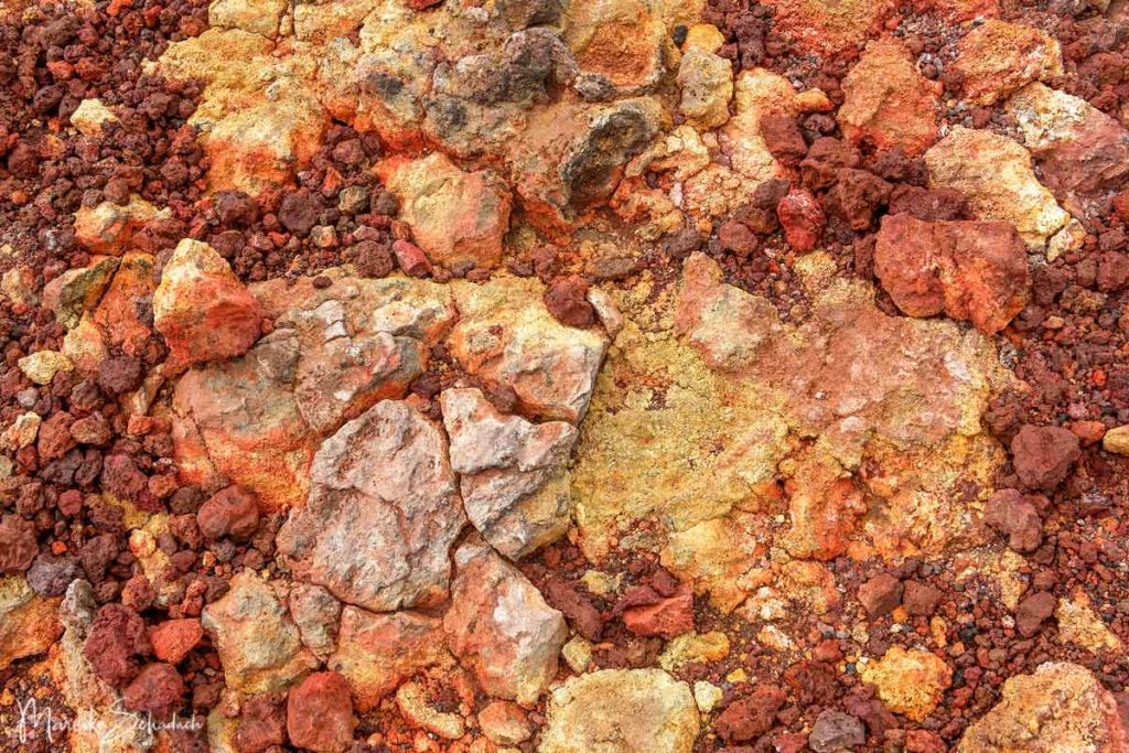
When I started to climb the volcano Eldfell, the summit was hidden in low clouds - typical for Iceland. This gave the area an especially mystical atmosphere. But it cleared up every now and then and I could finally enjoy the view over the lava field and the city from the summit. But even without a view the summit is impressive, because the rock shines in bright rust red and sulfur yellow even on cloudy days.

You can find trekking boots, hiking poles, gloves and everything else you might need for your tour on the Eldfell volcano in Iceland at Bergzeit.
Visit of the Museum Eldheimar "World of Fire"
In the modern museum Eldheimar - the Pompeii of the North you can learn everything about the volcanic eruption of 1973. Eldheimar means "World of Fire". The heart of the museum is an excavated house that was previously completely buried under the lava of the volcanic eruption. The museum was built around the historic house, so to speak. It opened in 2014.

The historic house inside the museum was located in the former street Gerðisbraut 10, where Gerður Sigurðardóttir and Guðni Ólafsson lived with their three sons. They had to flee headlong from their home on the night of January 23, leaving their belongings behind. Some of them are still scattered around the ruins.
Using the audio guide, I continue through the exhibition. What is remarkable about the museum is that there are no overly long and tedious text panels to read. The museum is very visually oriented with many large-scale pictures, models and films about the dramatic events in 1973, and the audio guide conveys the content. Through the combination of seeing and hearing, I experienced the exhibition very intensively. Especially the sight of the destroyed house and the section about the evacuation touched me very much.

On the upper floor the museum continues with an interesting exhibition about the island of Surtsey. This was created during an earlier volcanic eruption in 1963-1967. From the beginning it has been protected and the natural development and colonization of the island by fauna and flora is documented. It is even included in the UNESCO World Heritage List. The tour through the exhibition finally ends in a small museum café.
Walk through the "Lava Forest" Hraunskógur
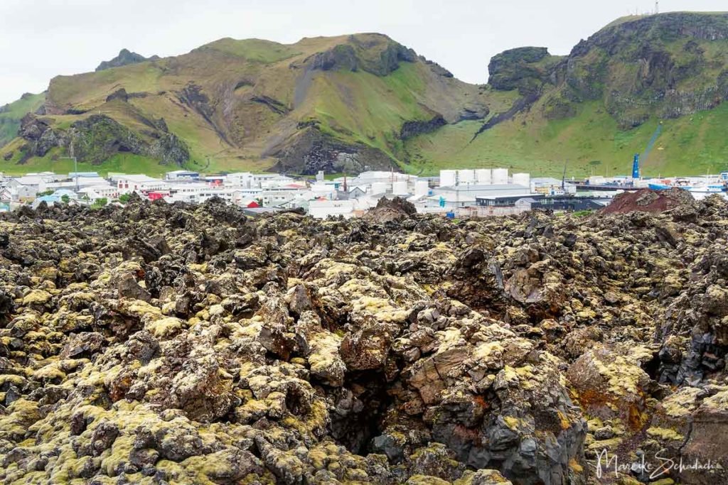
Hiking trails now lead across a bizarre lava landscape where there was still sea before 1973. In another 10 years, a forest may grow here. Hraunskógur is a 28-hectare reforestation area. Every year, volunteers and employees of the municipality plant about 4,000 tree cuttings (willows, spruces, poplars, elms). Numerous walking paths have also been created in the lava forest, leading over the rugged block lava covered with moss and lupines. It's a little bit like a labyrinth, but you can't seriously get lost here. On the contrary - it's really fun to get lost here.
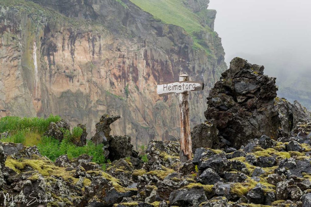
I didn't get to see quite as much of the forest on my walk. But even without tall trees, this rugged lava landscape quickly became my favorite place on Heimaey. Even if it feels a bit strange to walk here. Because houses and streets are buried under the lava layer, which is on average 40 meters thick.

Finally, a bit of history:
What happened? The Eruption of Eldfell in 1973 on Heimaey
Lava Fountains and Ash Fall
The eruption was unexpected. At night, at 1:55 a.m. on January 23, 1973, the earth cracked open on the outskirts of the town. The fissure, about 300 meters long, quickly grew to about 1,600 meters. Lava fountains shot up to 150 meters into the night sky from 30 to 40 craters. Lava flows overflowed the eastern end of the city and ash fell on the entire island. The event shook not only the Icelanders. It was broadcast on television all over the world.

Why did no one foresee the eruption? There had been a series of weak earthquakes in the days before. Shortly before the eruption, they even reached 2.7 on the Richter scale, but that's probably not unusual at the edges of lithospheric plates. Besides, there has been no volcanic activity here for 5,000 years.
Evacuation of the Inhabitants
Thanks to a storm the day before, the entire fishing fleet of Heimaey was in port. Thus, the evacuation of the islanders could start immediately. Already half an hour after the beginning of the eruption, the first boat left the harbor. Within six hours, all 5,300 inhabitants were safe. Only a few stayed behind to perform urgent tasks or rescue valuables from their homes. One of these tasks was to slaughter the cattle. Because the grass was covered with ash, there was nothing left to eat on the island.
Volcanic eruptions also produce toxic fumes. These are heavier than air and collect in dips. A man died after inhaling such fumes in the basement of the pharmacy. Several people were injured by the gases.

Cooling the Lava
The Westman Islands live from fishing. The port of Vestmannaeyjabær is even the most important fishing port in all of Iceland and, so to speak, the lifeline of the Westman Islands. Now the lava flow was flowing incessantly towards the harbor and threatened to close it. This would have been a disaster. Firefighters began to cool the edges of the glowing lava with seawater, thus slowing it down. When the first attempts already showed positive results, bigger guns were brought in: The ship Sandey pumped 400 l/s onto the lava. In addition, water pipes were laid on the lava crust in daring actions. In the end, 32 converted oil pumps from America were used, capable of pumping 1,000 l/s. In total, about 6.2 million tons of seawater were pumped onto the lava for cooling. With success: the harbor entrance remained free and is now even better protected by the new lava walls, which are up to 40 m high.

Destruction and Formation of new Land
At the beginning of the eruptions, houses near the fissure were destroyed by lava or pyroclastics. Despite the efforts of many helpers to shovel the fallen ash from the roofs of houses, many collapsed under the weight. Others were buried beneath the advancing lava or ignited by lava bombs. It was not until early February that the precipitation of pyroclastics subsided. However, persistent lava flows continued to cause destruction. In the end, an average 40-meter-thick layer of lava covered parts of the city. In some places, the layer was even up to 100 meters thick.

Only after about six months, on July 3, 1973, the eruptions were over. In total, 60% of the houses on Heimaey were damaged in the eruption. A little more than half could be saved. But about 400 houses were completely destroyed. In addition, the power plant and a fish processing factory were destroyed, as well as submarine supply lines from the main island.
The volcanic eruption created the Eldfell cinder cone, which is about 200 meters high. In addition, the area of the island grew by about 2.0 square kilometers.

Cleanup
Cleanup began immediately after the end of the eruption in July 1973. It was a mammoth task to clear the houses and roads and make the island habitable again. After a year, about 50% of the former inhabitants had returned to the island, and by March 1975, 80%. Today, about 4,500 people live on Heimaey, 800 fewer than before the Eldfell eruption.
The heat stored under the lava is used for energy and hot water production, and the pyroclastics are used as building material. Land was filled up with it in the sea, on which 200 houses were built.
Book Recommendations for Iceland
Do you want to know where the journey is going? Then I can recommend this travel guides* to you.
You can order the travel guides on Amazon by clicking on the pictures. If you buy a product via an affiliate link, I get a small commission and you help me to keep filling Fernweh-Motive with interesting articles. This does not make the product more expensive for you.


Do you know the volcano Eldfell on the Westman Islands in Iceland? How did you like it there? Do you have any questions or suggestions to my article? If yes, then write me a comment! Eldfell auf den Westmännerinseln in Island? Wie hat es euch dort gefallen? Habt ihr noch Fragen oder Anregungen zu meinem Artikel? Wenn ja, dann schreibt mir doch einen Kommentar!
Do you want to know when there are new articles on my blog? Then follow me on Facebook, Pinterest or Instagram. I would also be very happy if you share my article with your friends.
Recommendations for further Reading
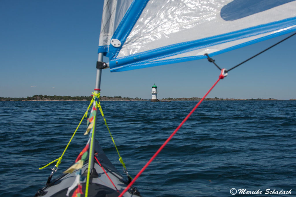
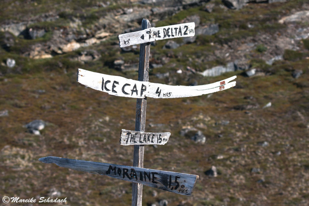
Do you love the Scandinavian countries as much as I do? Then you might also be interested in my articles about the Kayak Tour in the Swedish Archipelago or a Trekking Tour to the Greenlandic Ice Sheet.